By Laura Naranjo
About 97 percent of Earth’s water swirls on the surface in oceans and rivers, and another 2 percent is frozen in glaciers and ice sheets. Only a small percentage of Earth’s water moistens the soil—1 percent at the most. This small amount underground, however, plays a surprisingly large role in processes above ground. Soil moisture helps grow the crops people eat. Moisture in the soil helps determine whether heavy rains will result in flooding. And soil moisture affects the heat exchange between ground and atmosphere, influencing cloud formation and weather.
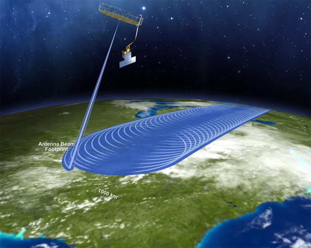
Historically, scientists have used soil gauges to record soil moisture, but that tends to be labor-intensive, and gauge networks often only cover small areas. Now, the best way to study soil may be from the sky. On January 31, 2015, NASA launched the Soil Moisture Active Passive (SMAP) observatory, which will produce global maps of soil moisture.
Early adopters
The launch was only one step in an already groundbreaking mission. For the first time, a NASA mission has coordinated with a new segment of potential data users long before the satellite even launched. “Historically, NASA missions have been about research and climate studies,” said Amanda Leon, SMAP data management lead at NSIDC Distributed Active Archive Center (DAAC). “But there are so many applications that will benefit from SMAP data, such as weather forecasting, agriculture, and human health.” So NASA initiated an Early Adopter program, which is a part of the SMAP Applications Working Group. The program is composed of organizations and individuals who engage in pre-launch efforts to enable faster integration of SMAP data after launch. In return, the SMAP mission provides the Early Adopters with simulated SMAP data products, tailored support, and participation in data product discussions.
Part of the reason NASA is trying to engage users early on is because of the broad range of applications SMAP data can be used for. “The Early Adopters include everything from John Deere to an insurance agency in the United Kingdom,” said Leon. “We’ve been able to talk with them and understand how they hope to use the data and that insight is driving the support and services developed by the DAAC.” Leon has spent the past several years coordinating between Early Adopters and the mission to ensure data will be available in formats needed by these unique communities.
As one of the DAACs receiving SMAP data, NSIDC is heavily involved in the entire process. Although NSIDC DAAC typically handles snow and ice products, it was chosen for the SMAP mission because of previous success in supporting and distributing soil moisture data from the Advanced Microwave Scanning Radiometer – EOS (AMSR-E) instrument on the NASA Aqua satellite.
Added value
Many of these Early Adopters have never used satellite data, so Leon and the SMAP team at NSIDC DAAC have worked with them to understand their current methods for assimilating data into their applications. As a result, NASA has endorsed several formats not typically distributed in its standard product lineup, but that are commonly used by the hydrology community. Some of the additional formats include GeoTIFF, or TIFF files containing georeferencing information, and Keyhole Markup Language (KML) files, which are designed for use with Google Earth.
In addition to providing new data formats, Leon’s goal has been to make sure that NSIDC DAAC is properly documenting the data sets for users, as well as developing the services and interfaces that will be easiest for them to use. “The value that the NASA DAACs provide is to serve as a bridge between the data users and the missions,” Leon said. “We want to understand what users are trying to do and how the data can be more broadly used, and we’re trying provide some value beyond just making the data available.”
Serving up soil moisture
NSIDC DAAC ingested the first data a mere two weeks after launch, but the mission still needs to complete a three-month instrument orbit check, followed by a three-month period during which the data are calibrated against ground measurements to validate the quality. The NASA Alaska Satellite Facility DAAC will archive and distribute Level 1 radar data, and NSIDC DAAC will distribute Level 1 radiometer data as well as all Level 2 through Level 4 products, including a soil freeze-thaw product. The mission plans to release a beta version of the Level 1 products to the public in late July 2015, according to Leon. Early Adopters, however, are already testing with the simulated SMAP products. “The idea is that they can become familiar with the structure of the data and start looking at how to integrate it into their applications,” Leon said. “It will allow for quicker integration of SMAP data as soon as it’s available.” Because of this unique approach, the DAACs will know exactly what users need, and users can hit the ground running with SMAP.

