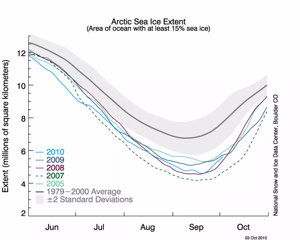
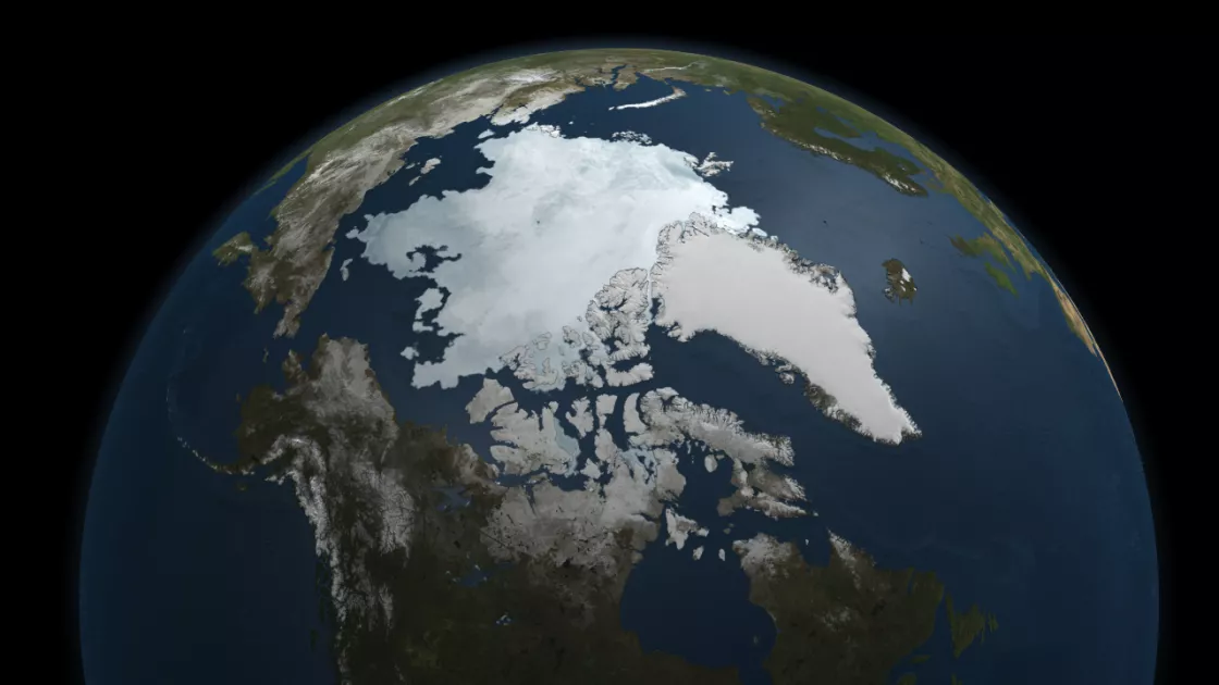
NSIDC Sea Ice Today relies on sea ice extent and concentration data from satellite sensors operated by the United States Department of Defense, the Defense Meteorological Satellite Program (DMSP) Special Sensor Microwave Imager/Sounder (SSMIS). The sensors, called passive microwave, work by measuring the low-level microwave radiation that the Earth emits to space. Different surfaces, such as water, ice, and land, emit different amounts of radiation, which passes unhindered through clouds and darkness. Researchers then process the microwave data into a map of sea ice cover.
Building a long-term record
The passive microwave sea ice record dates back to 1979, one of the longest satellite environmental data sets. The long-term data track changes in the ice cover over many years, lending additional confidence to the trends that we observe. The passive microwave data are especially useful because the sensor delivers data even during the six months of Arctic darkness and frequently cloudy conditions. NSIDC uses both near-real-time data, which are released with a one-day delay, and validated final sea ice data. Near-real-time data do not undergo the same rigorous validation process as the final sea ice data, which are released six months to a year after they are collected, but they are useful for studying ice conditions as they happen. Errors may include occasional areas of missing data, represented as gray areas or speckles, or areas near land where open water is incorrectly identified as ice or vice versa. We correct these problems in the final sea ice products, which replace the near-real-time data in about six months to a year. Researchers use final data products for more rigorous scientific analysis and long-term comparisons.
Other data sources
Researchers also study data from other satellites and from field studies to get a more complete picture of what is happening to Arctic sea ice. Several other satellite sensors, including the NASA Advanced Microwave Scanning Radiometer for EOS (AMSR-E) sensor on the Aqua satellite, provide additional measurements of ice extent and area. Researchers can use those data to compare to the SSMIS passive microwave data and identify potential problems. But ice extent alone provides only a surface view of the ice: scientists also want to know ice thickness and age. For example, data from the NASA Ice, Cloud, and Land Elevation (ICESat) satellite, which operated from 2003 to 2009, showed that the Arctic ice cover thinned over that time period. And studies of ice age show that the oldest, thickest ice is declining, while younger, thinner ice is becoming increasingly common. For more information on the data that NSIDC uses, see the Sea Ice Index.

