NOAA@NSIDC

Stewards of data, past and present

Learn how NOAA@NSIDC data are being used in research, and read updates and spotlights on how you can use the data, tools and resources we offer. If you are using NOAA@NSIDC data in your research, teaching or some other way, let us know and we may feature your work in our next article. Share your story with us today.
News & Stories

Filter by:
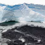
A photograph of the edge of an ice shelf in Antarctica
Welcome to the new NSIDC.org! Our website now offers an even more intuitive and efficient interface to allow users from all different backgrounds to discover and analyze over 1400 data sets and gain expert-verified knowledge about the cryosphere.
Gorner Glacier near Zermatt
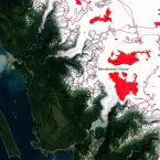
What defines a glacier? What are the world’s three largest glaciers? What are the largest glaciers in each region of the world? As often as the rapidly changing cryosphere is making headlines, from stories on dwindling Arctic sea ice to thawing permafrost to melting ice sheets, one would think the answers to these questions would be obvious and easy to find.
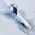
submarine_3
Researchers at NSIDC and their colleagues have developed a way to improve sea ice edge forecasts in the Arctic. The new method bumps up the accuracy of the six-hour forecast by almost 40 percent, making forecasts more reliable and navigation in the Arctic safer.
film-canisters_3
In 1996, NSIDC received ninety-nine canisters of ungainly film rolls. Each stored hundreds of photographs, most of sea ice, but also glaciers, land, snow cover, and coastlines dating as far back as 1962. The photographs, part of the U.S. Navy-initiated Project Birdseye, offered never before seen images of the Arctic.